26W46-EP07 · Part B
Map → JSON: Structured Space Without Full BIM
Field Notes · 26W46-EP07 · Part B · 4 Nov 2026
This is Part B of Field Notes 26W46-EP07. Part A — AI Is a Tool — Keep the Judgment was about tools and judgment. Part B switches to space data.
Last episode we talked about turning a floor plan into a simple 3D picture people can share. Today is the data side of the same idea — structure the plan so systems can query it, without waiting for a full BIM model.
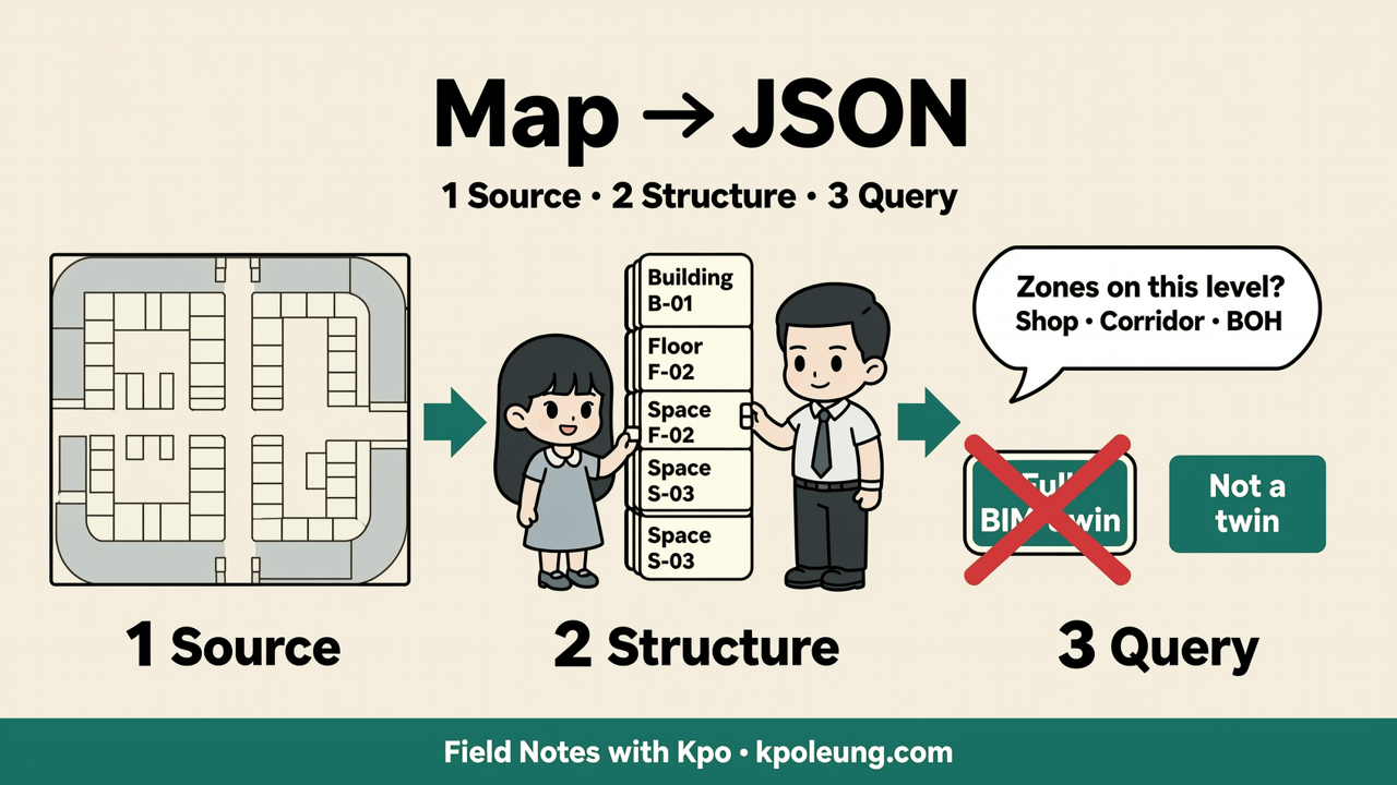
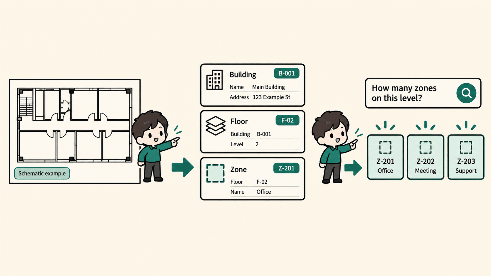
A picture is fine for eyes. Software still can't ask: how many zones on this level? Which corridor connects where? Today's reusable line: take a map or a plan — turn levels, zones, and spaces into structured records you can query. Illustration: a generic public mall or building floor. Concept first. No live demo link on this episode.
Three steps
First — the source. A map, CAD, or a clear plan PDF. Say what you trust: schematic, from a drawing, or surveyed.
Second — structured records. Building, then floor or level, then space or zone — units you can count, with stable IDs. Shapes can be simple polygons. You don't need a complete BIM for that.
Third — query. Table, API, or a simple view on the same hierarchy. Tools can change. The hierarchy and an honest source label should not.
What you can ask
Alignment and inventory. Relations good enough for talk and tagging — not a navigation promise. And a base layer if you later hang devices on space. Today we stop at queryable structure.
Honest limits
This is not a full BIM model, and it is not a digital twin. Accuracy follows the source. Non-public plans need permission. The mall-or-building example is illustration only.
Three questions after you listen
May I legally use and talk about this map or plan? Do I need "queryable and clear enough to share," or "survey-grade precise"? Am I still in structured records — or already pretending I have a BIM twin?
If I had to put Part B in one line: a map becomes useful as data when levels and spaces turn into records you can query — not when someone promises a full twin. Later we may talk about positioning, or hanging people and devices on the same spatial records. Not today.
Read Part A — AI Is a Tool — Keep the Judgment for the other half. More notes are at kpoleung.com/notes/. Podcast (English · EP07): Field Notes with Kpo (Spotify) · Podcast (粵語 · EP07-CT): 稍後上架 / coming soon. Comments or topic requests welcome at m@kpoleung.com.
Music credits — Intro & outro: “Teapot” by Lukrembo — freetouse.com/music/lukrembo/teapot · Background: “At Ease” by Hazelwood — freetouse.com/music/hazelwood/at-ease · License: freetouse.com/license